Dam data table
|
Dam No.:1317
|
Kimigano Dam [Mie Pref.]
|
|
|
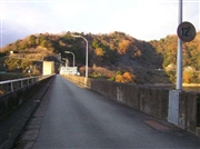
Dam Photo
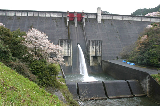
(Photo by: Fuku)
|
 040511 Katsuyuki Horiuchi
|
|
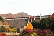
 019558 ToNo
|
|
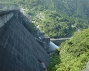
 029933 Hi Ace
|
|
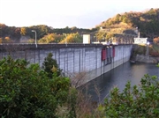
 029929 Hi Ace
|
|
|
| Location (Latitude, Longitude) |
N 34°351' 48'',E 136°18' 47''
[Japanese Dam Finder]
|
| Purpose/Dam type |
FNWI/G
|
| Height/Crest length/Dam volume |
73m/323m/331 thousand m3 |
| Catchment area/Water surface area |
80km2/80ha |
| Reservoir capacity |
23300 thousand m3 |
| FY project started/completed |
1964/1971
|
