Dam data table
|
Dam No.:1440
|
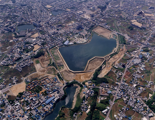
Sayama-ike Dam (Re) [Osaka Pref.]
|
|
|
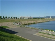
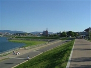
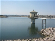
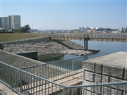
Dam Photo
 030663 Hi Ace
|
|
 030667 Hi Ace
|
|
 062778 Rui Abe
|
|
 067861 Sanchan
|
|
 062781 Rui Abe
|
|
 067889 Sanchan
|
|
 067853 Sanchan
|
|
 062779 Rui Abe
|
|
|
| Location (Latitude, Longitude) |
N 34°301' 24'',E 135°33' 02''
[Japanese Dam Finder]
|
| Purpose/Dam type |
FN/E
|
| Height/Crest length/Dam volume |
18.5m/997m/605 thousand m3 |
| Catchment area/Water surface area |
17.9km2/ha |
| Reservoir capacity |
2800 thousand m3 |
| FY project started/completed |
1980/2001
|