Dam data table
|
Dam No.:1467
|
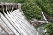
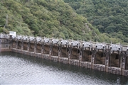
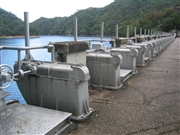
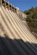
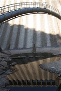
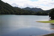
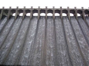
Sengari Dam [Hyogo Pref.]
|
|
|
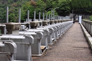
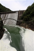
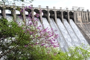
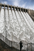
Dam Photo
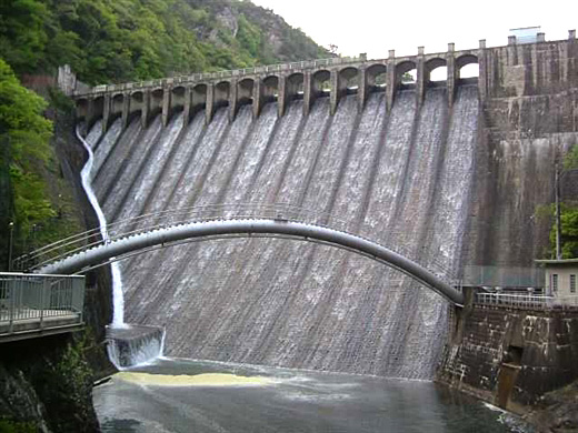
(Photo by: Hi Ace)
|
 062796 Rui Abe
|
|
 062801 Rui Abe
|
|
 062802 Rui Abe
|
|
 076012 KENBO
|
|
 076014 KENBO
|
|
 062805 Rui Abe
|
|
 030688 Hi Ace
|
|
 111609 Takashi Yasukochi
|
|
 111593 Takashi Yasukochi
|
|
 125130 KAKI
|
|
 099700 cantam
|
|
 111611 Takashi Yasukochi
|
|
|
| Location (Latitude, Longitude) |
N 34°521' 34'',E 135°16' 12''
[Japanese Dam Finder]
|
| Purpose/Dam type |
W/G
|
| Height/Crest length/Dam volume |
42.4m/106.7m/41 thousand m3 |
| Catchment area/Water surface area |
94.5km2/112ha |
| Reservoir capacity |
11717 thousand m3 |
| FY project started/completed |
1914/1919
|
