Dam data table
|
Dam No.:1499
|
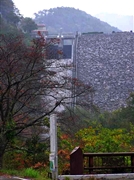
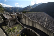
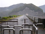
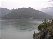
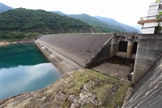
Tataragi Dam [Hyogo Pref.]
|
|
|
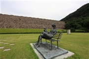
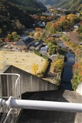
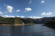
Dam Photo

(Photo by: Hi Ace)
|
 030866 Hi Ace
|
|
 099727 cantam
|
|
 030877 Hi Ace
|
|
 030882 Hi Ace
|
|
 111706 Takashi Yasukochi
|
|
 111715 Takashi Yasukochi
|
|
 099724 cantam
|
|
 099726 cantam
|
|
|
| Location (Latitude, Longitude) |
N 35°141' 13'',E 134°49' 55''
[Japanese Dam Finder]
|
| Purpose/Dam type |
P/FA
|
| Height/Crest length/Dam volume |
64.5m/278m/1462 thousand m3 |
| Catchment area/Water surface area |
13.4km2/105ha |
| Reservoir capacity |
19440 thousand m3 |
| FY project started/completed |
1970/1974
|
