|
|
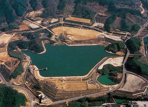
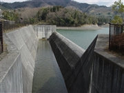
Dam Photo
 031693 Hi Ace
|
|
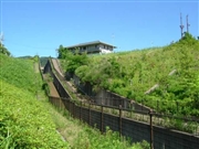
 068726 Sanchan
|
|
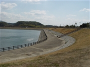
 068735 Sanchan
|
|
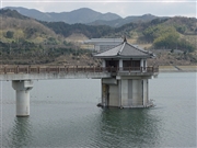
 068742 Sanchan
|
|
|
| Location (Latitude, Longitude) |
N 34°371' 19'',E 135°50' 54''
[Japanese Dam Finder]
|
| Purpose/Dam type |
FA/E
|
| Height/Crest length/Dam volume |
30m/516m/793 thousand m3 |
| Catchment area/Water surface area |
6km2/15ha |
| Reservoir capacity |
1360 thousand m3 |
| FY project started/completed |
1971/1996
|