Dam data table
|
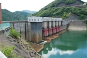
Dam No.:1649
|
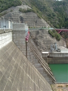
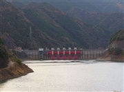
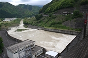
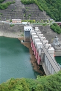
Tsubayama Dam [Wakayama Pref.]
|
|
|
Dam Photo
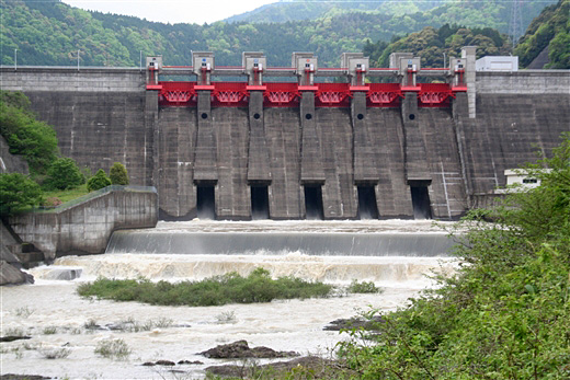
(Photo by: Rui Abe)
|
 014082 Hi Ace
|
|
 032351 Hi Ace
|
|
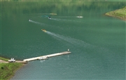
 046828 Rui Abe
|
|
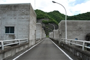
 040606 Takao Nishikawa
|
|
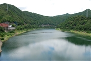
 093735 Dam master
|
|
 093742 Dam master
|
|
 093745 Dam master
|
|
 093779 Dam master
|
|
|
| Location (Latitude, Longitude) |
N 33°571' 33'',E 135°23' 27''
[Japanese Dam Finder]
|
| Purpose/Dam type |
FNP/G
|
| Height/Crest length/Dam volume |
56.5m/236m/265 thousand m3 |
| Catchment area/Water surface area |
396.5km2/268ha |
| Reservoir capacity |
49000 thousand m3 |
| FY project started/completed |
1966/1988
|
