Dam data table
|
Dam No.:2067
|
Sabagawa Dam [Yamaguchi Pref.]
|
|
|
Dam Photo
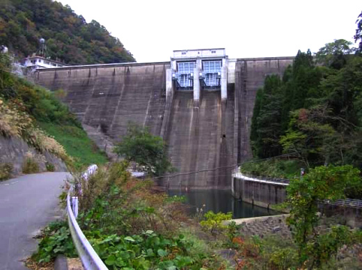
(Photo by: Hi Ace)
|
|
| Location (Latitude, Longitude) |
N 34°161' 37'',E 131°39' 19''
[Japanese Dam Finder]
|
| Purpose/Dam type |
FNAIP/G
|
| Height/Crest length/Dam volume |
54m/156m/100 thousand m3 |
| Catchment area/Water surface area |
96.4km2/116ha |
| Reservoir capacity |
24600 thousand m3 |
| FY project started/completed |
1952/1955
|
