[Back]  [Dams in Japan]  [Japanese Page]


Dam data table
 
Dam No.:2303
 
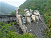
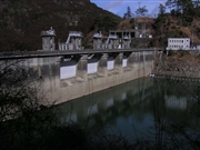
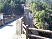
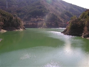
Ohhashi Dam [Kochi Pref.]


Dam Photo

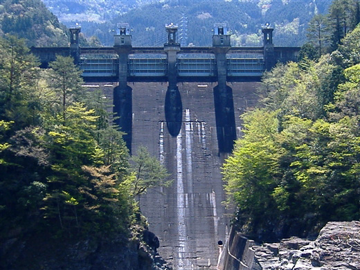
(Photo by: nolikeother)
040391 Yosuzume
035036 Hi Ace
035005 Hi Ace
035012 Hi Ace
Location (Latitude, Longitude) N 33°461' 13'',E 133°20' 12''   [Japanese Dam Finder]
Purpose/Dam type P/G
Height/Crest length/Dam volume 73.5m/187.1m/174 thousand m3
Catchment area/Water surface area 190km2/101ha
Reservoir capacity 24030 thousand m3
FY project started/completed 1937/1939


Notes:
1. Dam purposes are abbreviated as follows:
A: Agricultural irrigation   F: Flood control   I: Water supply for industry   N: Non-specified, river flow maintenance
P: Hydropower   R: Recreation   S: Snow melting &removing   W: Water supply

2. Dam types are abbreviated as follows:
A: Arch   B: Buttress   CSG: Trapezoidal CSG   E: Earthfill   FA: Asphalt face fill   FC: Asphalt core fill   G: Gravity
GF: Gravity concrete & fill dam (compound)   HG: Hollow gravity   MA: Multi-arch   R: Rockfill

3. The fiscal year (FY) in Japan is from April 1 to March 31 of the following year.

Please send your comments
Copyright 2012 JAPAN DAM FOUNDATION. All rights reserved.

[Back]  [Dams in Japan]  [Japanese Page]