Dam data table
|
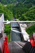
Dam No.:2424
|
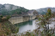
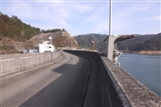
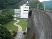
Egawa Dam [Fukuoka Pref.]
|
|
|
Dam Photo
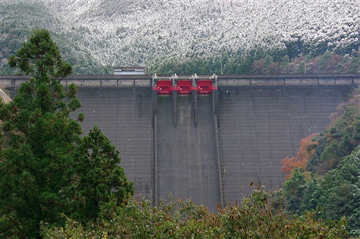
(Photo by: Dai)
|
 116143 Dai
|
|
 120475 Senzo
|
|
 082891 Japan Dam Foundation
|
|
 102872 KIYOTAKA
|
|
|
| Location (Latitude, Longitude) |
N 33°271' 36'',E 130°44' 03''
[Japanese Dam Finder]
|
| Purpose/Dam type |
AWI/G
|
| Height/Crest length/Dam volume |
79.2m/297.9m/261 thousand m3 |
| Catchment area/Water surface area |
30km2/86ha |
| Reservoir capacity |
25326 thousand m3 |
| FY project started/completed |
1967/1972
|
