Dam data table
|
Dam No.:2442
|
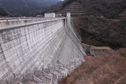
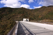
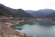
Fukuchiyama Dam [Fukuoka Pref.]
|
|
|
Dam Photo
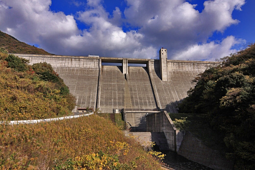
(Photo by: Senzo)
|
 120520 Senzo
|
|
 132502 Senzo
|
|
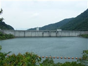 105106 Dai
|
|
 120518 Senzo
|
|
|
| Location (Latitude, Longitude) |
N 33°451' 24'',E 130°47' 00''
[Japanese Dam Finder]
|
| Purpose/Dam type |
FNW/G
|
| Height/Crest length/Dam volume |
64.5m/255m/202 thousand m3 |
| Catchment area/Water surface area |
4.7km2/13ha |
| Reservoir capacity |
2710 thousand m3 |
| FY project started/completed |
1975/2003
|
