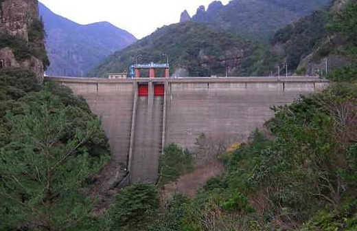
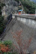
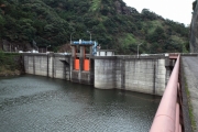
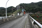
Dam data table
|
Dam No.:2535
|
Ryumon Dam [Saga Pref.]
|
|
|
Dam Photo
(Photo by: Hi Ace)
|
 156456 Takashi Yasukochi
|
|
 156462 Takashi Yasukochi
|
|
 156464 Takashi Yasukochi
|
|
 156465 Takashi Yasukochi
|
|
|
| Location (Latitude, Longitude) |
N 33°121' 43'',E 129°52' 41''
[Japanese Dam Finder]
|
| Purpose/Dam type |
FNW/G
|
| Height/Crest length/Dam volume |
42.2m/150m/59 thousand m3 |
| Catchment area/Water surface area |
3.2km2/16ha |
| Reservoir capacity |
2350 thousand m3 |
| FY project started/completed |
1968/1975
|
