Dam data table
|
Dam No.:2553
|
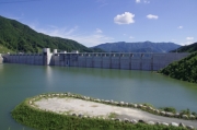
Kasegawa Dam [Saga Pref.]
|
|
|
Dam Photo
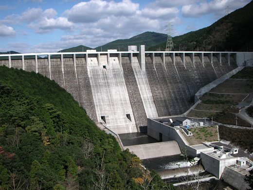
(Photo by: MLIT Kasegawa Dam Construction Work Office)
|
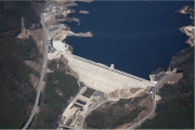 202917 MLIT Tikugo River Office
|
|
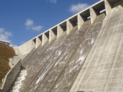 155432 MLIT Kasegawa Dam Construction Work Office
|
|
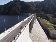 155435 MLIT Kasegawa Dam Construction Work Office
|
|
 140667 Dai
|
|
|
| Location (Latitude, Longitude) |
N 33°231' 22'',E 130°13' 01''
[Japanese Dam Finder]
|
| Purpose/Dam type |
FNAWIP/G
|
| Height/Crest length/Dam volume |
97m/454.5m/941 thousand m3 |
| Catchment area/Water surface area |
128.4km2/270ha |
| Reservoir capacity |
71000 thousand m3 |
| FY project started/completed |
1973/2011
|
