|
|
Dam Photo
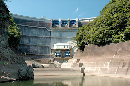
(Photo by: Fukachan)
|
 037366 Hi Ace
|
|
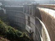
 037407 Hi Ace
|
|
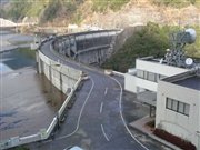
 037431 Hi Ace
|
|
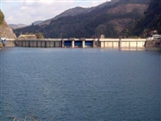
 037381 Hi Ace
|
|
|
| Location (Latitude, Longitude) |
N 33°91' 35'',E 130°59' 02''
[Japanese Dam Finder]
|
| Purpose/Dam type |
FNP/A
|
| Height/Crest length/Dam volume |
98m/248.2m/282 thousand m3 |
| Catchment area/Water surface area |
185km2/200ha |
| Reservoir capacity |
59300 thousand m3 |
| FY project started/completed |
1977/1986
|
