Dam data table
|
Dam No.:2863
|
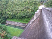
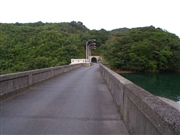
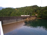
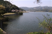
Takakuma Dam [Kagoshima Pref.]
|
|
|
Dam Photo
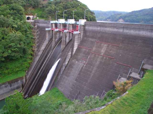
(Photo by: Hi Ace)
|
 038396 Hi Ace
|
|
 038394 Hi Ace
|
|
 038401 Hi Ace
|
|
 100181 Ike-chan
|
|
|
| Location (Latitude, Longitude) |
N 31°301' 30'',E 130°51' 34''
[Japanese Dam Finder]
|
| Purpose/Dam type |
A/G
|
| Height/Crest length/Dam volume |
47m/136m/67 thousand m3 |
| Catchment area/Water surface area |
38.4km2/104ha |
| Reservoir capacity |
13930 thousand m3 |
| FY project started/completed |
/1967
|
