Dam data table
|
Dam No.:2923
|
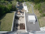
Tako Dam [Iwate Pref.]
|
|
|
Dam Photo
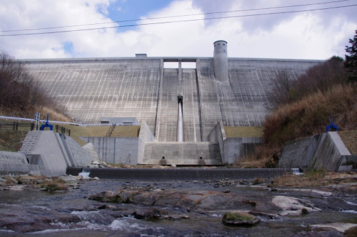
(Photo by: Dai)
|
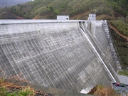 084558 Kei
|
|
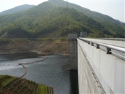 076845 Kitaguni no NAGO
|
|
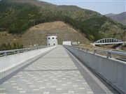 076850 Kitaguni no NAGO
|
|
 076849 Kitaguni no NAGO
|
|
|
| Location (Latitude, Longitude) |
N 39°91' 20'',E 141°42' 07''
[Japanese Dam Finder]
|
| Purpose/Dam type |
FNW/G
|
| Height/Crest length/Dam volume |
77m/322m/328 thousand m3 |
| Catchment area/Water surface area |
17km2/39ha |
| Reservoir capacity |
9680 thousand m3 |
| FY project started/completed |
1985/2006
|
