Dam data table
|
Dam No.:2931
|
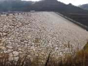
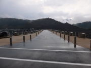
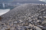
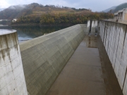
Tono Dam [Tottori Pref.]
|
|
|
Dam Photo
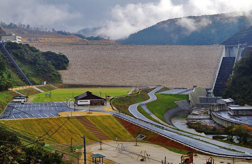
(Photo by: Hajime Tanaka)
|
 213848 Hajime Tanaka
|
|
 213849 Hajime Tanaka
|
|
 213862 Hajime Tanaka
|
|
 213851 Hajime Tanaka
|
|
|
| Location (Latitude, Longitude) |
N 35°261' 57'',E 134°20' 32''
[Japanese Dam Finder]
|
| Purpose/Dam type |
FNWIP/R
|
| Height/Crest length/Dam volume |
75m/294m/2110 thousand m3 |
| Catchment area/Water surface area |
38.1km2/64ha |
| Reservoir capacity |
12400 thousand m3 |
| FY project started/completed |
1985/2011
|
