Dam data table
|
Dam No.:2964
|
Obara Dam [Shimane Pref.]
|
|
|
Dam Photo
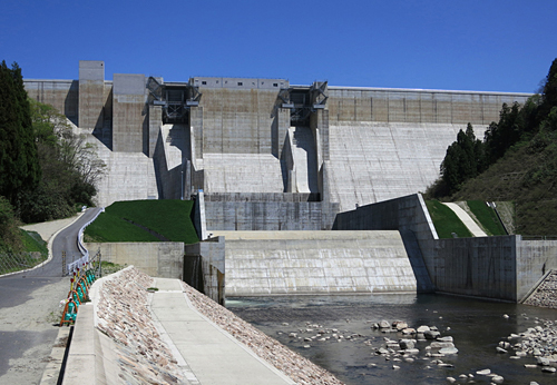
(Photo by: Hishi)
|
|
| Location (Latitude, Longitude) |
N 35°131' 29'',E 132°57' 04''
[Japanese Dam Finder]
|
| Purpose/Dam type |
FNW/G
|
| Height/Crest length/Dam volume |
90m/440.8m/690 thousand m3 |
| Catchment area/Water surface area |
289km2/230ha |
| Reservoir capacity |
60800 thousand m3 |
| FY project started/completed |
1987/2010
|
