Dam data table
|
Dam No.:3032
|
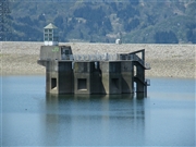
Yamamoto No.2 Choseichi [Niigata Pref.]
|
|
|
Dam Photo
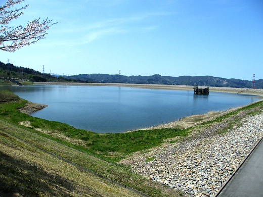
(Photo by: Dai)
|
 100502 Dai
|
|
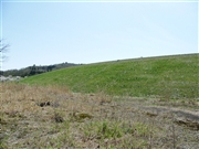
 100503 Dai
|
|
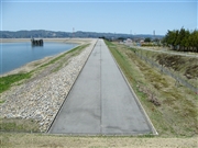
 093989 Dam master
|
|
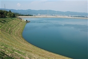
 100504 Dai
|
|
|
| Location (Latitude, Longitude) |
N 37°171' 14'',E 138°48' 20''
[Japanese Dam Finder]
|
| Purpose/Dam type |
P/R
|
| Height/Crest length/Dam volume |
42.4m/1392m/ thousand m3 |
| Catchment area/Water surface area |
km2/31ha |
| Reservoir capacity |
3640 thousand m3 |
| FY project started/completed |
1983/1990
|
