Dam data table
|
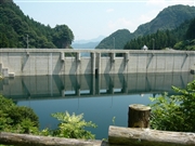
Dam No.:3073
|
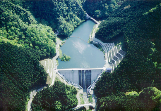
Ohnita Dam [Gunma Pref.]
|
|
|
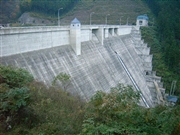
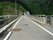
Dam Photo
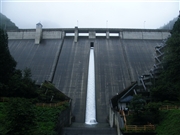 062237 Dai
|
|
 041511 Fumufumu
|
|
 060648 Dam master
|
|
 060657 Dam master
|
|
|
| Location (Latitude, Longitude) |
N 36°81' 11'',E 138°41' 08''
[Japanese Dam Finder]
|
| Purpose/Dam type |
FNW/G
|
| Height/Crest length/Dam volume |
54.4m/163m/123 thousand m3 |
| Catchment area/Water surface area |
4.4km2/3ha |
| Reservoir capacity |
437 thousand m3 |
| FY project started/completed |
/2001
|