|
|
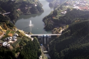
Dam Photo
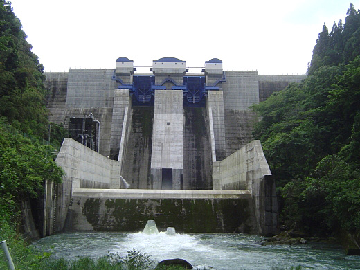
(Photo by: Nishimatsu, Ajioka Sato Kensetsu Construction Work Joint Venture)
|
 153021 Nishimatsu, Ajioka Sato Kensetsu Construction Work Joint Venture
|
|
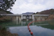
 132693 Dai
|
|
 132694 Dai
|
|
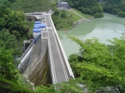
 153024 Hikawa Dam Control Office, Kumamoto Prefecture
|
|
|
| Location (Latitude, Longitude) |
N 32°341' 16'',E 130°47' 12''
[Japanese Dam Finder]
|
| Purpose/Dam type |
FNAW/G
|
| Height/Crest length/Dam volume |
58.5m/202m/112 thousand m3 |
| Catchment area/Water surface area |
57.4km2/35ha |
| Reservoir capacity |
7100 thousand m3 |
| FY project started/completed |
1990/2010
|
