Dam data table
|
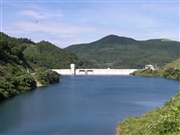
Dam No.:3182
|
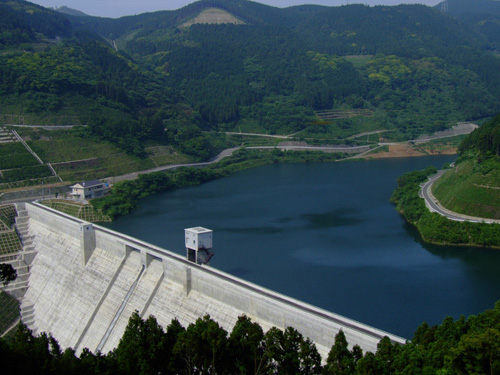
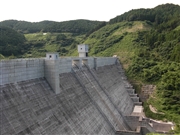
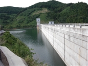
Fuefuki Dam [Nagasaki Pref.]
|
|
|
Dam Photo
 083171 Japan Dam Foundation
|
|
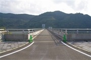 131009 Dai
|
|
 083170 Japan Dam Foundation
|
|
 083174 Japan Dam Foundation
|
|
|
| Location (Latitude, Longitude) |
N 33°181' 19'',E 129°44' 07''
[Japanese Dam Finder]
|
| Purpose/Dam type |
FNI/G
|
| Height/Crest length/Dam volume |
59.8m/296.5m/231 thousand m3 |
| Catchment area/Water surface area |
2.7km2/10ha |
| Reservoir capacity |
2010 thousand m3 |
| FY project started/completed |
1992/2006
|