Dam data table
|
Dam No.:3592
|
Chibusa Dam [Tokyo Pref.]
|
|
|
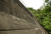
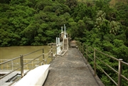
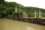
Dam Photo
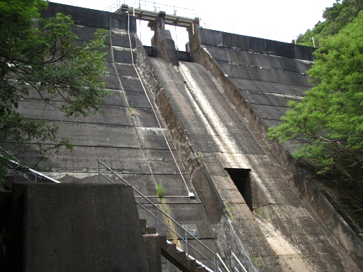
(Photo by: NAUTIS)
|
 104740 NAUTIS
|
|
 104743 NAUTIS
|
|
 104767 NAUTIS
|
|
 104763 NAUTIS
|
|
|
| Location (Latitude, Longitude) |
N 26°381' 48'',E 142°9' 44''
[Japanese Dam Finder]
|
| Purpose/Dam type |
W/G
|
| Height/Crest length/Dam volume |
16.5m/64m/6 thousand m3 |
| Catchment area/Water surface area |
km2/1ha |
| Reservoir capacity |
35 thousand m3 |
| FY project started/completed |
1971/1973
|
