Dam data table
|
Dam No.:3616
|
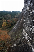
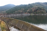
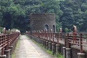
Kawachi Dam [Fukuoka Pref.]
|
|
|
Dam Photo
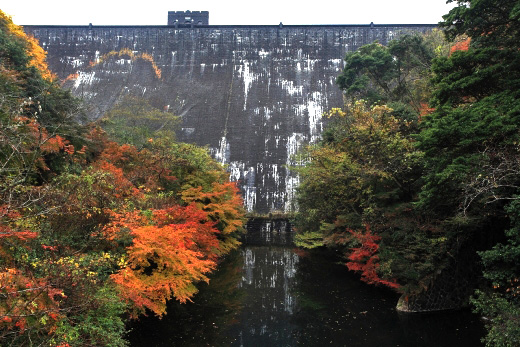
(Photo by: Takashi Yasukochi)
|
 118111 Takashi Yasukochi
|
|
 118090 Takashi Yasukochi
|
|
 113410 Takashi Yasukochi
|
|
 098143 Dai
|
|
|
| Location (Latitude, Longitude) |
N 33°501' 17'',E 130°48' 38''
[Japanese Dam Finder]
|
| Purpose/Dam type |
I/G
|
| Height/Crest length/Dam volume |
43.1m/189m/68 thousand m3 |
| Catchment area/Water surface area |
20km2/51ha |
| Reservoir capacity |
7000 thousand m3 |
| FY project started/completed |
1919/1927
|
