|
|
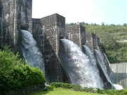
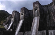
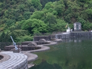
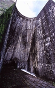
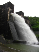
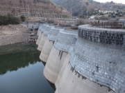
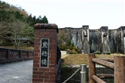
Dam Photo
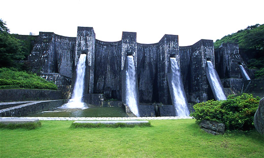
(Photo by: Takashi Yasukochi)
|
 039048 Hi Ace
|
|
 008607 Takashi Yasukochi
|
|
 075661 aki
|
|
 008887 Takashi Yasukochi
|
|
 159349 Dobinsui
|
|
 159525 Dai
|
|
 135782 Yoshito Takeda
|
|
 116334 KIYOTAKA
|
|
|
| Location (Latitude, Longitude) |
N 34°21' 31'',E 133°41' 05''
[Japanese Dam Finder]
|
| Purpose/Dam type |
FA/MA
|
| Height/Crest length/Dam volume |
30.4m/128m/40 thousand m3 |
| Catchment area/Water surface area |
8km2/15ha |
| Reservoir capacity |
1643 thousand m3 |
| FY project started/completed |
1988/1994
|
